Image
Image
Image
Image
Image
Image
Image

Image
Image
Image
Image
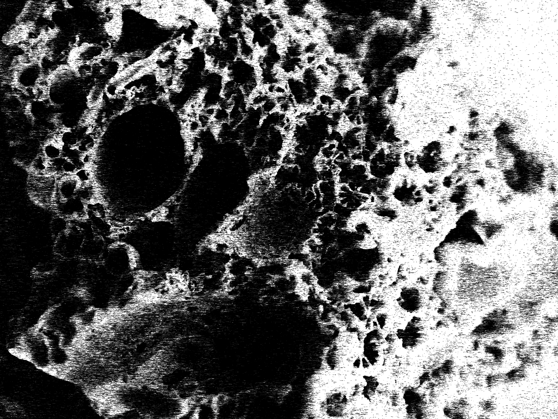
"Every beach is different. Every single grain is different. There are no two grains of sand alike in the world. Every grain of sand is coming somewhere and going somewhere. They're like a snapshot in time." - Gary Greenberg
TEDxMaui April 2012 (Greenberg 7:37)
Image
Image
ABSTRACT
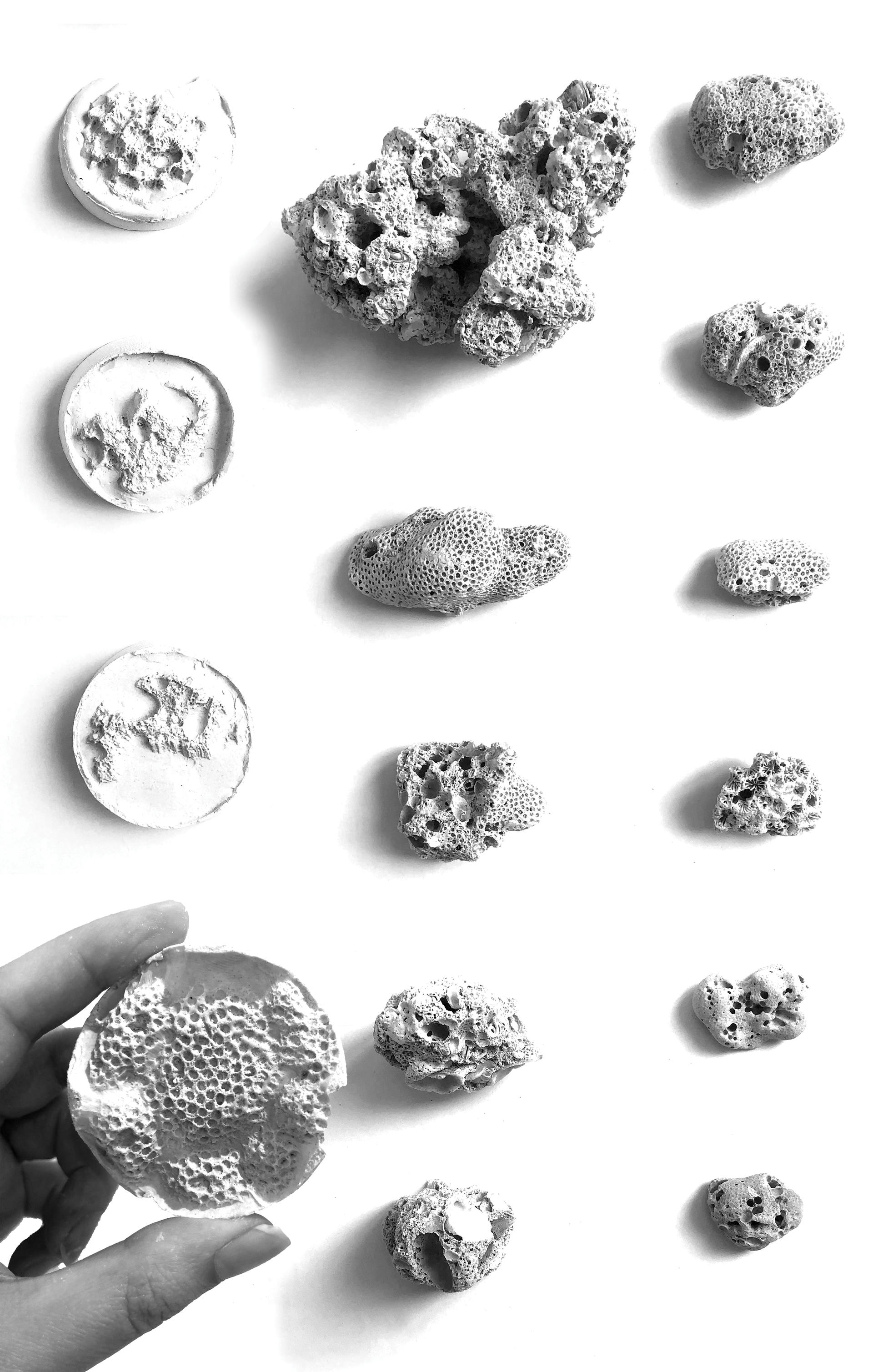
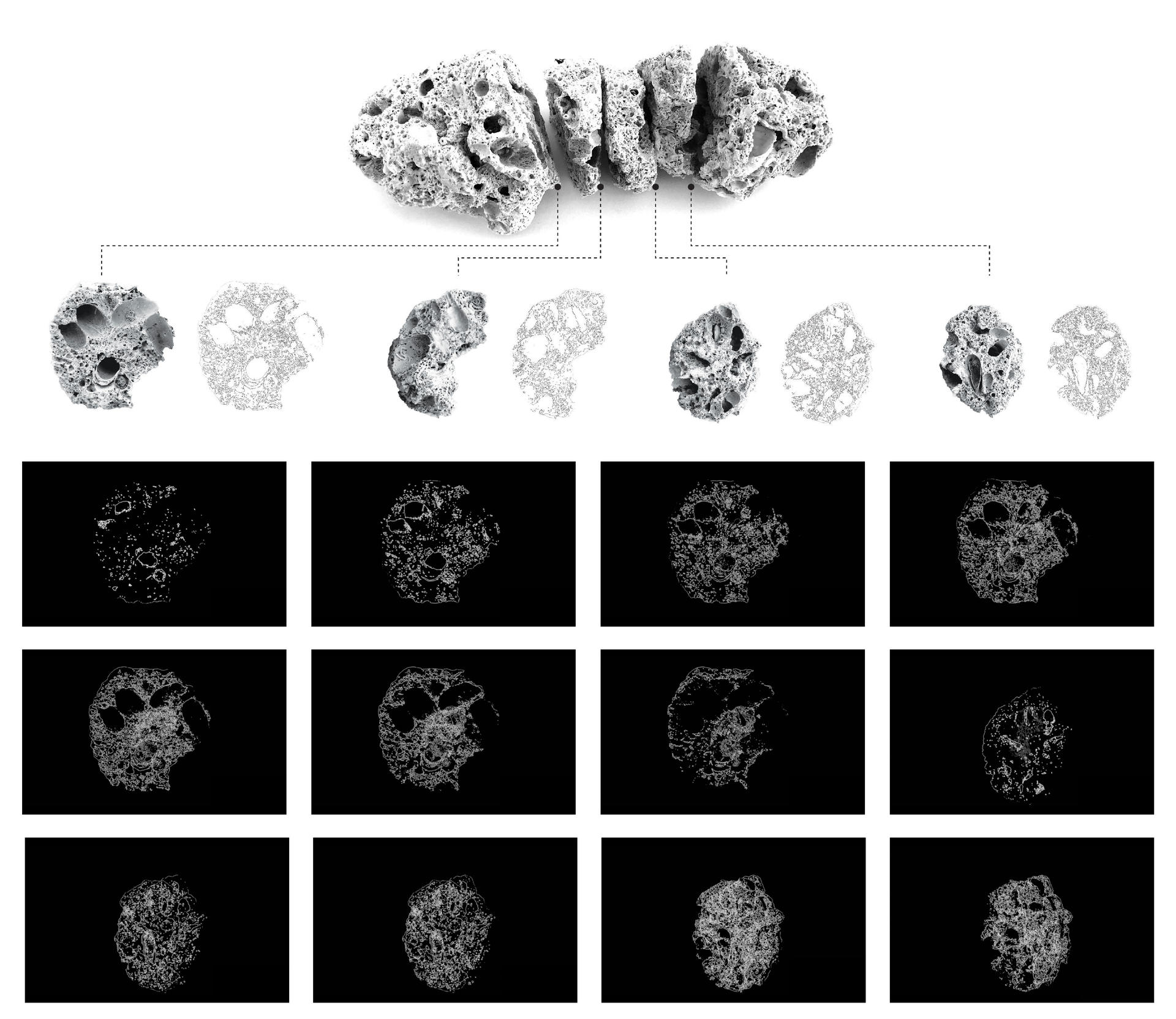
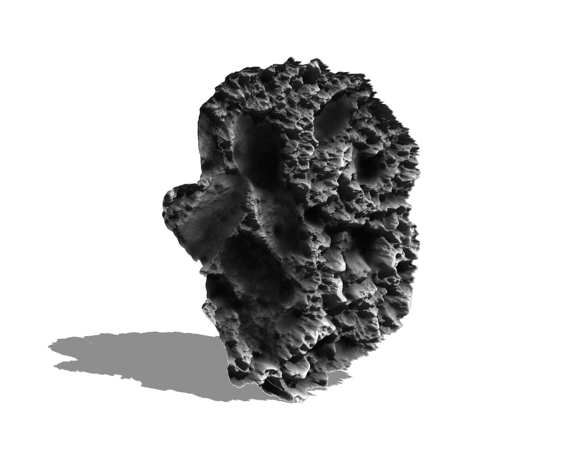
This thesis explores the concept of critical zones of the shoreline to study the littoral ecosystem as a mechanism to unfold multi-scalar approaches to land-water interfaces. The investigation of the littoral is used as a tool to further understand the ground and situate it within wider landscape conditions. It focuses on the zone from the desert to the sea, its natural processes and its many layers that make it into a productive eco-infrastructure, here read through the lens of a critical ecotone where all living organisms interact. A lexicon curated from the study of the ecotone is developed to work as a form of analysis that repositions ourselves within the gradient between land and sea. By drawing on relations to the ecology and on a mapping of how we relate to this environment, a series of speculative topographies are designed, with the support of a detailed study of sea organisms that are critical ecosystem engineers.